

The AP Transit map shows MTA subway movements in real time and offers route and station controls.
Running Reality
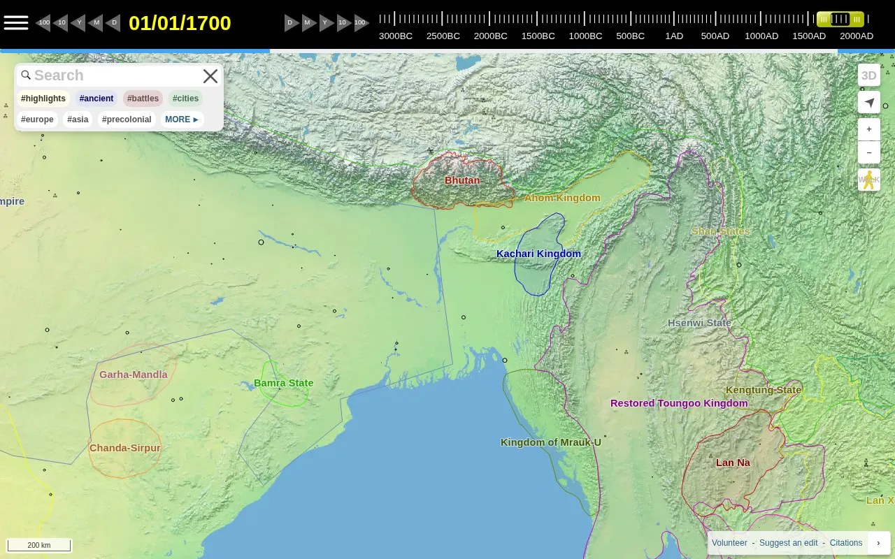
Running Reality maps human civilization through history, with controls to choose a date and time scale.
About Running Reality
Running Reality is a web-based interactive mapping tool that visualizes the progression of human civilization across global geography. It is designed to let users explore how human societies, settlements, and events have changed over time.
The platform includes controls to select any date from 3000 BC to the present day, plus adjustable time scale settings for broader or narrower historical views. Users can toggle on and off different highlight categories, including ancient sites, battles, major cities, and region-specific content for areas like Europe, Asia, and precolonial territories. A 3D walk view option is available alongside standard 2D map navigation.
It is best suited for history students, educators, and casual history enthusiasts who want to explore the geographic context of historical events and societal development over millennia.
Key features
- Interactive timeline spanning 3000 BC to present day
- Adjustable date and time scale navigation controls
- Toggleable historical highlight categories (ancient, battles, cities, regional)
- 3D walk and standard 2D map view options
- Web-based access with no required software installation
Best for: History students, educators, and casual history enthusiasts seeking to explore the geographic progression of human civilization over time.
Good for
- Covers over 5000 years of human history
- Offers both 2D map and 3D walk viewing modes
- Supports filtering content by historical theme and region
- No installation required, accessible via web browser
Running Reality at a glance
- Website
- runningreality.org
- Category
- Travel & Maps › Maps, Navigation & Weather
- Type
- Website
- Pricing
- Not confirmed. Check the site
- Platforms
- Web
- Open source
- Not stated
- Language
- English
- Last checked
- Oct 5, 2026 · Online when checked
- Listed
- Oct 5, 2026
Running Reality alternatives
Tools and sites you could use instead, ranked by how closely they match.

World Population Density maps population patterns and urban regions using Global Human Settlement Layer data.

World History Maps provides interactive and static historical maps with a searchable archive.

NASA FIRMS provides near-real-time active fire data from MODIS and VIIRS through downloads, maps, and area-based email alerts.
Pick
24 alternatives
Check Ontario road and transit conditions with live maps, traffic cameras, incident details, and travel-time information.
FreePick
20 alternatives
Globe of History maps battles, inventions, and philosophers across 6,000 years of history.
Popular in Maps, Navigation & Weather
Well-known listings from the same topic.
OpenWeatherMapopenweathermap.orgWeather History & Data Archivewunderground.com/historyORBISorbis.stanford.eduEarth Engine Datasetdevelopers.google.com/earth-engine/datasetsGPS Visualizergpsvisualizer.com


Running Reality FAQ
What time period does Running Reality cover?
It maps human civilization from 3000 BC to the present day.
Can I filter historical content by region or theme?
Yes, users can toggle highlights for categories like ancient sites, battles, cities, and regions including Europe, Asia, and precolonial areas.
Is Running Reality free to use?
Pricing information is not listed on the homepage, so access costs are unclear.
Is something wrong or out of date?
Tell us and an editor will check it.
Own this website?
Claim this listing
Claim the listing and suggest updates yourself. An editor checks every claim first.