

FloodMap shows areas that could be flooded and provides current flood forecast information.
Paid
7 alternativesProject '44 provides a free interactive map of the Second World War with historical mapping information.
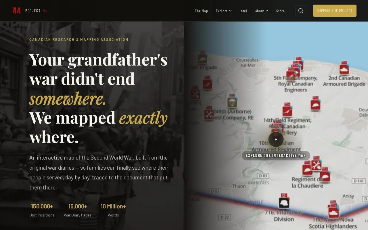
Project ’44 is a free interactive map of the Second World War built from original war diaries. It shows 150,000+ unit positions across 15 nations day by day, each traced to a scanned primary document, alongside 15,000+ war diary pages.
Users can search 1,000+ formations by unit, date, or location, view war diaries and after-action reports linked to the map, and read story maps, research projects, and individual case studies. The web map is described as beta, with some features still rough.
Tools and sites you could use instead, ranked by how closely they match.
FloodMap shows areas that could be flooded and provides current flood forecast information.
Chronotrains shows where travelers can reach by train from a selected station.
Orhyginal’s map catalogs external cartographic tools and can position them automatically to the current map extent.
World History Maps provides interactive and static historical maps with a searchable archive.
Map Myths explores phantom geographic features through an interactive collection of historical maps.
The Digital Atlas of the Roman Empire lets users explore places and terrain through an interactive historical map.
Well-known listings from the same topic.
Tell us and an editor will check it.
Claim the listing and suggest updates yourself. An editor checks every claim first.


