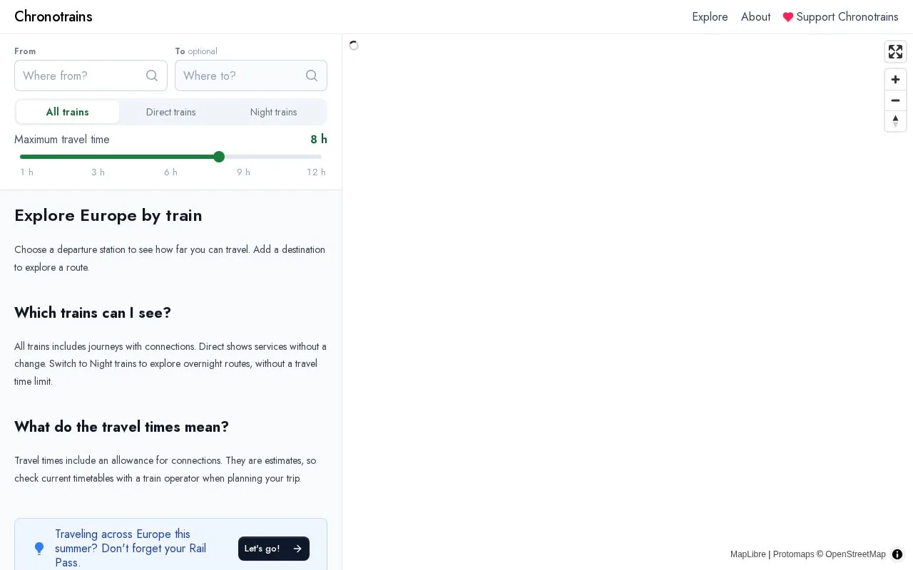
Chronotrains is a web map for planning train travel in Europe. The user selects a departure station or city, and the map shows the destinations reachable by train within a 1 to 12 hour window, along with estimated travel times.
The site covers 30+ European countries. Travel times include an allowance for connections. The site states that these times are estimates, so current timetables should be checked with a train operator before travel.
Key features
Select a departure city or station to explore reachable destinations on an interactive map
Shows estimated travel times from the chosen station, within a 1 to 12 hour range
Switch between all trains, including journeys with connections, and direct services only
Separate night train view for overnight routes, with no travel time limit
Coverage of 30+ European countries
Best for: Travelers in Europe who want to see which destinations are reachable by train from a given station before choosing a route.
Good for
Interactive map covers 30+ European countries
Lets users filter for direct services only or include journeys with connections
Includes a dedicated view for overnight train routes
Watch out for
Travel times are estimates and do not replace current timetables
Users are advised to check current timetables with a train operator when planning a trip
All trains includes journeys with connections. Direct shows services without a change. A Night trains option shows overnight routes without a travel time limit.
What do the travel times mean?
Travel times include an allowance for connections. They are estimates, so current timetables should be checked with a train operator when planning a trip.
Is something wrong or out of date?
Tell us and an editor will check it.
Own this website?
Claim the listing and suggest updates yourself. An editor checks every claim first.