
FloodMap shows areas that could be flooded and provides current flood forecast information.
Paid
7 alternativesOrhyginal’s map catalogs external cartographic tools and can position them automatically to the current map extent.
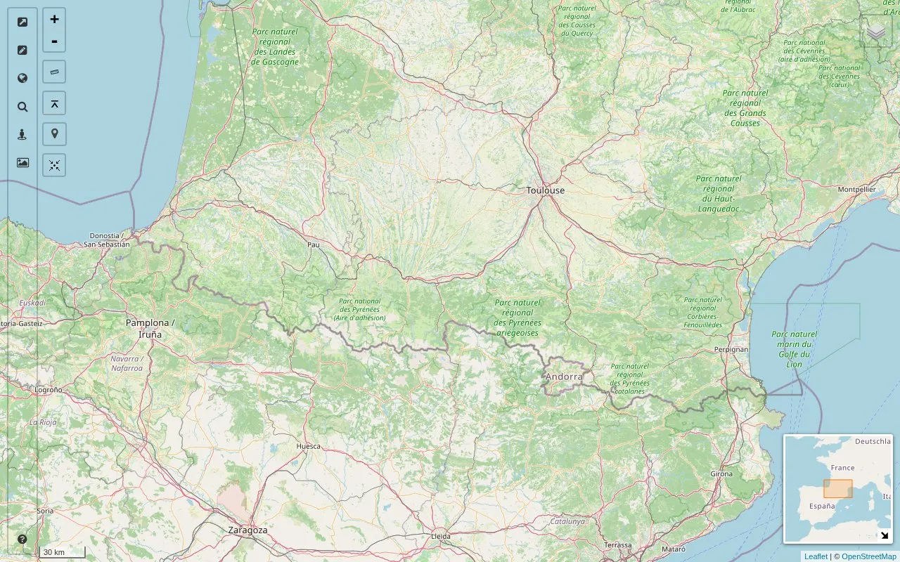
Orhyginal's Map is a web-based catalog of external cartographic tools. It lists these tools by category and tags and can open each linked tool positioned to the current map extent, which is the map view the user is looking at. Some links are marked as using the current map position, and the catalog includes OpenStreetMap editing tools, quality checking tools and some reference tools.
The map itself offers location search, a layers catalog for adding overlays and base layers to a layer switcher, a StreetView pane that loads a matching scene when the map is moved, and an Images pane that displays webcams at their original size. Links can be filtered by text, tag, recent addition or favorite. The site is not open source. Pricing is not stated and is listed as unknown.
Tools and sites you could use instead, ranked by how closely they match.
FloodMap shows areas that could be flooded and provides current flood forecast information.
Project '44 provides a free interactive map of the Second World War with historical mapping information.
Chronotrains shows where travelers can reach by train from a selected station.
CruiseMapper provides cruise tracking, current ship positions, and information about cruise lines.
Well-known listings from the same topic.
Tell us and an editor will check it.
Claim the listing and suggest updates yourself. An editor checks every claim first.


