

VR's live train tracker maps train movements using GPS tracking and data from Finland's rail infrastructure agency.
Vanshnookenraggen Track Maps
Vanshnookenraggen publishes transit track maps, including historical and proposed rail network plans.
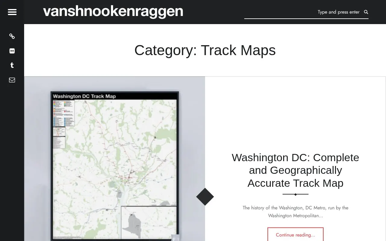
About Vanshnookenraggen Track Maps
Vanshnookenraggen publishes track maps of transit rail networks, including historical maps and maps of proposed network expansions. The site covers the Washington, DC Metro, the Boston T and MBTA, Chicago, and the New York City Subway, and it includes several Boston subway expansion maps and an IND Second System map.
The NYC Subway map is described as built from historical maps, GIS data, current and historic satellite imagery, YouTube videos of fan trips, the author's own observations from trains, and interviews with retired track workers. Large format prints are sold separately through the author's vanmaps.com store. Pricing for the site itself is not stated.
Key features
- Track maps for Washington, DC Metro, Boston MBTA, Chicago, and NYC Subway
- Boston T historical map of official subway expansion proposals since 1897
- IND Second System track map for the New York City Subway
- Maps of proposed rail network plans as well as existing lines
- NYC Subway map compiled from historical maps, GIS data, and satellite imagery
- Large format map prints available through a separate vanmaps.com store
Best for: Transit enthusiasts and readers interested in the history and layout of major US rail systems, including past and proposed track networks.
Good for
- Covers both historical and proposed rail network plans, not only current lines
- The NYC map page describes the sources used to build it
Watch out for
- The accuracy of the NYC Subway map is the author's own assessment, stated as what the author believes to be most accurate
- The NYC map draws partly on fan-made videos and personal observations rather than only official records
Vanshnookenraggen Track Maps at a glance
- Category
- Travel & Maps › Maps, Navigation & Weather
- Type
- Website
- Pricing
- Not confirmed. Check the site
- Platforms
- Web
- Open source
- Not stated
- Language
- English
- Last checked
- Oct 6, 2026 · Online when checked
- Listed
- Oct 5, 2026
Vanshnookenraggen Track Maps alternatives
Tools and sites you could use instead, ranked by how closely they match.

AnyTrip tracks trains, buses, ferries, and light rail in real time across its supported region.

Maps.com publishes cartographic maps and articles about mapping topics such as solar storms.

WorldAtlas publishes geography articles and maps alongside science and current events content.

Check Ontario road and transit conditions with live maps, traffic cameras, incident details, and travel-time information.
FreePick
20 alternatives
Abandoned Rails provides maps, photographs, and information about abandoned railroad routes by state.
Popular in Maps, Navigation & Weather
Well-known listings from the same topic.
OpenWeatherMapopenweathermap.orgFIRMSfirms.modaps.eosdis.nasa.gov/mapWeather History & Data Archivewunderground.com/historyORBISorbis.stanford.eduEarth Engine Datasetdevelopers.google.com/earth-engine/datasetsAP Transitaptransit.co


Vanshnookenraggen Track Maps FAQ
Are printed versions of the maps available?
Large format prints are available through the author's vanmaps.com store.
What sources were used to create the NYC Subway track map?
The author collected historical maps, used GIS data, current and historic satellite imagery, YouTube videos of fan trips, personal observations from train windows, and conversations with retired track workers.
Is something wrong or out of date?
Tell us and an editor will check it.
Own this website?
Claim this listing
Claim the listing and suggest updates yourself. An editor checks every claim first.