

San José’s open-data portal provides city datasets and describes its commitment to open data.
Dataset
Analyze Boston is the City of Boston’s open-data portal for municipal datasets.
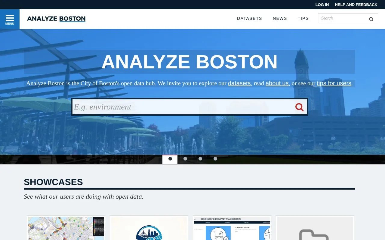
Analyze Boston is the City of Boston's open data hub for municipal datasets. Users can browse datasets grouped by topics such as Geospatial, City Services, Environment, Public Safety, and Transportation, view lists of frequently viewed and recently updated datasets, and see showcases of projects built with the data.
Datasets are listed with formats such as CSV, GeoJSON, KML, SHP, and ArcGIS GeoServices REST API, where available. Coverage is limited to Boston municipal data.
Other listings in Climate & Environmental Data with the most in common.
San José’s open-data portal provides city datasets and describes its commitment to open data.
Houston's open data portal invites residents to explore city datasets to support access to public information and civic engagement.
Open Data Scotland aggregates crowdsourced open datasets from across Scotland through its public portal.
SAEON's data portal supports publishing, finding, sharing, and preserving Earth observation and environmental data from South Africa.
The Ocean Biodiversity Information System maps and provides marine biodiversity records searchable by species, datasets, and area.
Open Power System Data provides a free platform for electricity system researchers, with documented and processed data for modeling.
Well-known listings from the same topic.
Tell us and an editor will check it.
Claim the listing and suggest updates yourself. An editor checks every claim first.


