

Topographic Map provides free maps for viewing terrain, elevation, and topography.
Caltopo
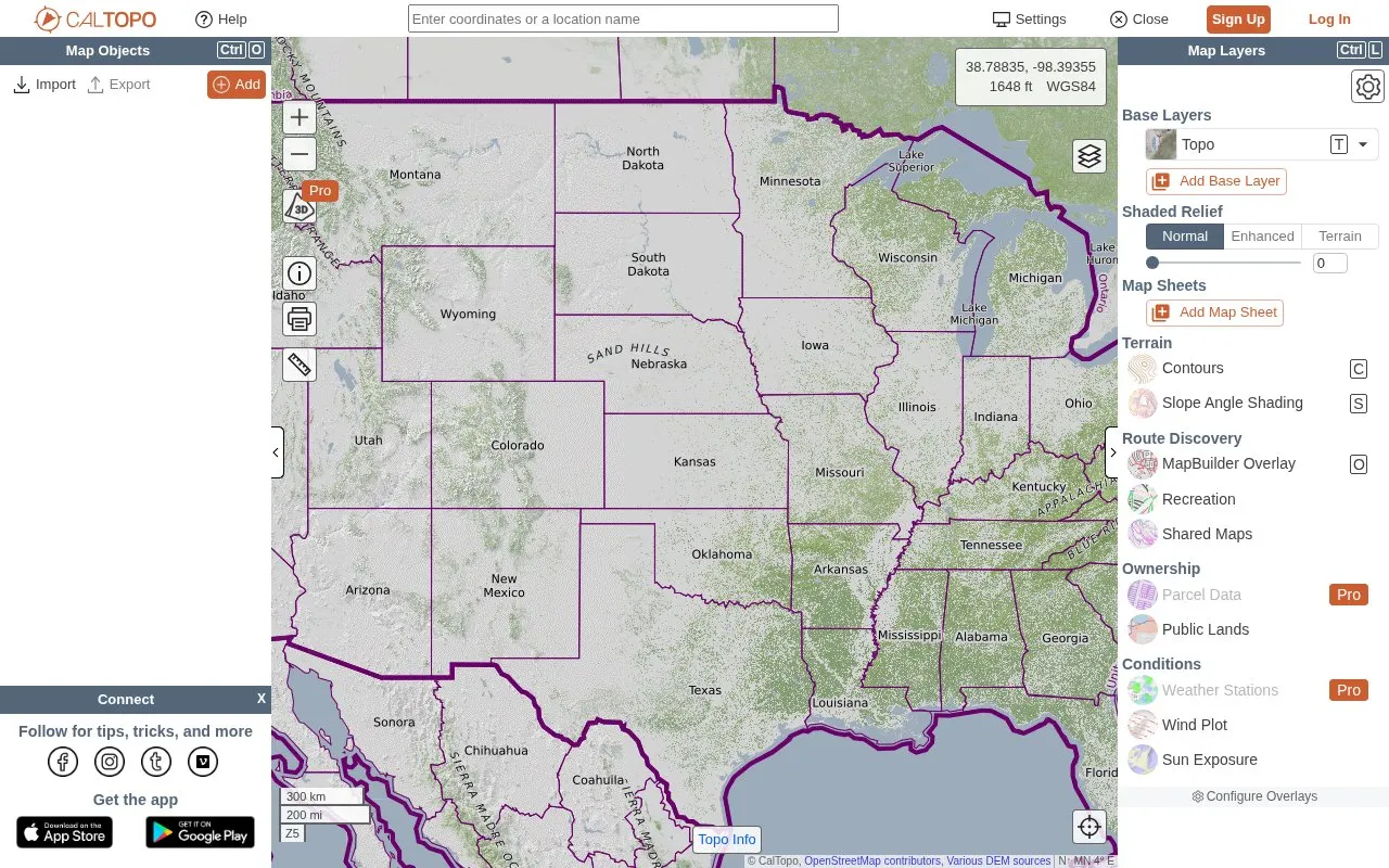
CalTopo provides topographic maps and tools for collaborative trip planning, elevation profiles, terrain analysis, and printing.
About Caltopo
CalTopo provides topographic maps and tools for trip planning. It supports collaborative trip planning, elevation profiles, and terrain analysis with USGS and USFS topo maps and aerial imagery. Users can print maps to geospatial PDFs, including USGS topo PDFs, and export maps as KMZ, MBTiles, and KML files for smartphones, Google Earth, and Garmin GPS. It also provides access to maps shared by other users.
Key features
- Collaborative trip planning
- Elevation profiles and terrain analysis
- USGS and USFS topo maps with aerial imagery
- Print maps to geospatial PDFs including USGS topo PDFs
- Export maps as KMZ or MBTiles to smartphone
- Export KML and KMZ for Google Earth and Garmin GPS
Best for: People planning backcountry trips who use topo maps for elevation, terrain, printing, and exports.
Good for
- Includes USGS and USFS topo maps and aerial imagery
- Supports printing to geospatial PDFs and export to KML, KMZ, and MBTiles
- Supports collaborative planning and finding maps shared by other users
Caltopo at a glance
- Website
- caltopo.com/map.html
- Category
- Travel & Maps › Maps, Navigation & Weather
- Type
- Website
- Pricing
- Not confirmed. Check the site
- Platforms
- Web
- Open source
- Not stated
- Last checked
- Oct 5, 2026 · Online when checked
- Listed
- Oct 5, 2026
Caltopo alternatives
Tools and sites you could use instead, ranked by how closely they match.

OpenTopoMap displays topographic maps built from OpenStreetMap data for exploring terrain and locations.

CoMaps supports offline search, routing, and trip planning for hiking, biking, and driving using GPS.
The Oilslick color elevation layer is designed to highlight fine terrain detail on a map.

Falling Fruit maps collaborative urban harvest locations and food resources for nearby users.

Bing Maps offers multi-stop route planning, transit, walking and driving directions, traffic, and satellite and 3D imagery.
Popular in Maps, Navigation & Weather
Well-known listings from the same topic.
OpenWeatherMapopenweathermap.org511on.ca511on.caFIRMSfirms.modaps.eosdis.nasa.gov/mapWeather History & Data Archivewunderground.com/historyORBISorbis.stanford.eduEarth Engine Datasetdevelopers.google.com/earth-engine/datasets


Caltopo FAQ
Can I print topo maps?
Yes, CalTopo can print geospatial PDFs, including free USGS topo PDFs.
Can I use CalTopo maps on a phone or GPS?
Yes, maps can be exported as KMZ or MBTiles to a smartphone, and as KML and KMZ for Google Earth and Garmin GPS.
Can I view maps made by others?
Yes, CalTopo lets users find shared maps from other users.
Is something wrong or out of date?
Tell us and an editor will check it.
Own this website?
Claim this listing
Claim the listing and suggest updates yourself. An editor checks every claim first.