

CalTopo provides topographic maps and tools for collaborative trip planning, elevation profiles, terrain analysis, and printing.
topographic-map
Topographic Map provides free maps for viewing terrain, elevation, and topography.
About topographic-map
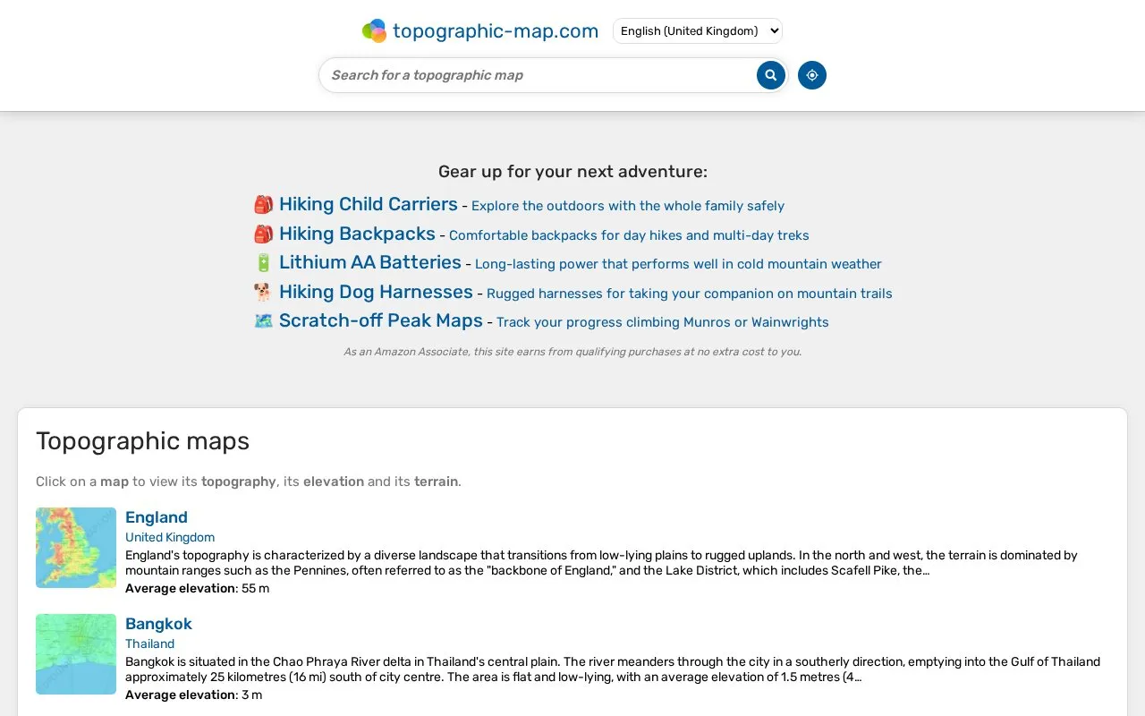
Topographic Map is a free web-based map viewer focused on terrain and elevation. Users click on a map to see the topography of a place, and destination pages present a short written description of the landscape alongside an average elevation figure, such as England at 55 m or India at 1,017 m. Locations are organized hierarchically, so an entry can sit under a country and then a region, state or county, for example United States > Florida > Escambia County for Pensacola. The site's own meta description also refers to sharing of topographic maps, though the homepage excerpt does not detail how sharing works. Pricing is not stated in the available information beyond the site describing its maps as free.
Key features
- Click a map to view its topography, elevation and terrain
- Average elevation figure shown for each listed location
- Short written terrain descriptions for countries, regions, states and cities
- Location entries nested by country, region, state and county
- Coverage spanning continents, countries and local areas such as Pensacola and London
- Meta description mentions visualization and sharing of topographic maps
Best for: People who want a free, quick read on the terrain and average elevation of a country, region, state or city.
Good for
- Free to view according to the site's stated focus on free topographic maps
- Covers a broad range of locations, from continents and countries down to cities and counties
- Pairs an average elevation figure with a plain-language description of the landscape
Watch out for
- The homepage excerpt shows description depth varies by location, with some entries offering little detail
- No information is provided about map data sources, resolution or how often content is updated
topographic-map at a glance
- Website
- en-gb.topographic-map.com
- Category
- Travel & Maps › Maps, Navigation & Weather
- Type
- Website
- Pricing
- Not confirmed. Check the site
- Platforms
- Web
- Open source
- Not stated
- Language
- English
- Last checked
- Oct 6, 2026 · Online when checked
- Listed
- Oct 5, 2026
topographic-map alternatives
Tools and sites you could use instead, ranked by how closely they match.

OpenTopoMap displays topographic maps built from OpenStreetMap data for exploring terrain and locations.
The Oilslick color elevation layer is designed to highlight fine terrain detail on a map.

Zoom Earth provides interactive weather and radar maps for tracking storms and viewing satellite images and forecasts.

GMaps WV wraps Google Maps in a restricted web view and provides version updates and bug fixes.
Open source
Popular in Maps, Navigation & Weather
Well-known listings from the same topic.
OpenWeatherMapopenweathermap.org511on.ca511on.caFIRMSfirms.modaps.eosdis.nasa.gov/mapWeather History & Data Archivewunderground.com/historyORBISorbis.stanford.eduEarth Engine Datasetdevelopers.google.com/earth-engine/datasets


topographic-map FAQ
Does it cost anything to use?
The site presents its topographic maps as free. No pricing details beyond that are given in the available information.
What kind of elevation information is shown?
Each location entry lists an average elevation, for example 55 m for England or 0 m for an area of Dubai, together with a description of the terrain.
How are locations organized?
Entries are nested geographically, such as United States > Florida > Escambia County for Pensacola, so you can move from a broad area to a more specific one.
Is something wrong or out of date?
Tell us and an editor will check it.
Own this website?
Claim this listing
Claim the listing and suggest updates yourself. An editor checks every claim first.