

Browse datasets from UC Santa Barbara's Climate Hazards Center, including CHIRPS v3 rainfall data and instructions for bulk downloads.
Dataset
CUGIR is Cornell’s geospatial information repository, where users can find datasets by map location or browse themes such as geology and climate.
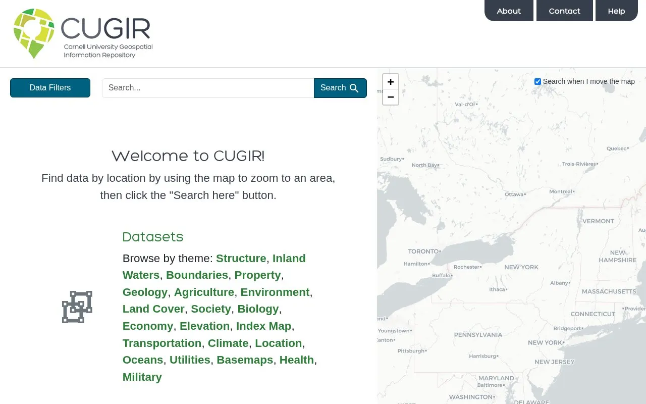
CUGIR is Cornell University's geospatial information repository. It lets users find datasets by zooming to a location on a map and clicking 'Search here', or by browsing themes such as geology, climate, agriculture, and inland waters. Filters are available for creator, collection, place, year, resource class, resource type, and format. The repository includes 522 datasets and 373 maps, with formats including GeoTIFF, Shapefile, GeoPackage, and GeoJSON. Place filters include New York, Tompkins County, Ithaca, New York City, Buffalo, Southeast Asia, India, and the Chesapeake Bay Watershed. Pricing information is not stated.
Other listings in Climate & Environmental Data with the most in common.
Browse datasets from UC Santa Barbara's Climate Hazards Center, including CHIRPS v3 rainfall data and instructions for bulk downloads.
MyGeoHub supports geospatial modeling, data analysis, and visualization with hosted groups, datasets, tools, and training materials.
The ISIMIP Repository supports searches for climate forcing and related input data across simulation rounds.
Hakai’s data hub shares information about data distribution, including sensor networks, weather, geospatial projects, and ERDDAP.
The European Commission Joint Research Centre Data Catalogue provides datasets and collections on topics including environment, energy, climate, and agriculture.
The NCAR Climate Data Guide provides expert information on climate datasets, including their strengths and limitations.
Well-known listings from the same topic.
Tell us and an editor will check it.
Claim the listing and suggest updates yourself. An editor checks every claim first.


