
An interactive map resource about danger, violence and justice in late medieval London, York and Oxford.
London Tree Map
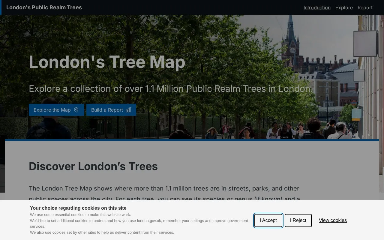
London's Tree Map lets visitors explore more than 1.1 million public trees by species, location, and climate suitability.
About London Tree Map
London Tree Map is a web map from the London government showing the locations of more than 1.1 million public trees in streets, parks and other public spaces across London. For each tree, it shows the species or genus where known and a climate suitability score, which indicates how well that type of tree is expected to cope with London's climate in 2090. Users can look up trees in a street, park, or borough, filter by tree type, add overlay layers, build a summary report for an area, and download the full dataset from the London Datastore.
The map covers public trees supplied by listed bodies, including all 32 London boroughs, the City of London, Transport for London, the Royal Parks, the London Legacy Development Corporation, and Quintain (Wembley Park). Some records lack exact map locations, so the map has gaps.
Key features
- Shows locations of over 1.1 million public trees across London
- Displays species or genus and a 2090 climate suitability score per tree
- Filters trees by street, park, or other public tree type
- Optional overlays for tree canopy cover and Index of Multiple Deprivation
- Builds reports with key figures and charts for a chosen area
- Downloads the full tree dataset from the London Datastore
Best for: Researchers, planners, and community groups working on London's public trees, as well as residents who want to see the trees on their street or in their local park.
Good for
- Combines tree data with canopy cover and deprivation layers for context
- Full dataset is available to download for research, planning, or community projects
Watch out for
- Some tree records lack exact map locations, so the map has gaps
- Coverage is limited to public trees from the listed bodies rather than all trees in London
- Climate suitability scores are projections for 2090, not measures of current tree health
London Tree Map at a glance
- Category
- Travel & Maps › Maps, Navigation & Weather
- Type
- Website
- Pricing
- Not confirmed. Check the site
- Platforms
- Web
- Open source
- Not stated
- Language
- English
- Last checked
- Oct 6, 2026 · Online when checked
- Listed
- Oct 5, 2026
London Tree Map alternatives
Tools and sites you could use instead, ranked by how closely they match.

miniLondon3d displays real-time positions of London Underground trains on a three-dimensional map.

London Remembers catalogs memorials in London and provides search tools.

Live Tube Map tracks London Underground trains in real time on an interactive map.

NASA Global Maps show how key parts of Earth’s climate system change from month to month.

NASA’s climate resources explain Earth’s changing climate and its study through the agency’s science programs.
Popular in Maps, Navigation & Weather
Well-known listings from the same topic.
OpenWeatherMapopenweathermap.org511on.ca511on.caFIRMSfirms.modaps.eosdis.nasa.gov/mapWeather History & Data Archivewunderground.com/historyORBISorbis.stanford.eduEarth Engine Datasetdevelopers.google.com/earth-engine/datasets


London Tree Map FAQ
Which organisations' trees are included?
The data comes from all 32 London boroughs, the City of London, Transport for London, the Royal Parks, the London Legacy Development Corporation (Queen Elizabeth Olympic Park), and Quintain (Wembley Park).
Why are some trees missing from the map?
Some records do not have exact map locations, so there are gaps on the map.
What does the climate suitability score mean?
It shows how well a species or genus is expected to cope with London's climate in 2090. The scores come from the report Future Climate Suitability of London's Public Realm Trees.
Is something wrong or out of date?
Tell us and an editor will check it.
Own this website?
Claim this listing
Claim the listing and suggest updates yourself. An editor checks every claim first.